A slice through the country from the Adirondacks to the Green Mountains, 143
kilometers of it, run backwards a billion years. Drag the timeline, or press play. The lake at
the middle lies on the boundary between the rocks of two collisions, with a tropical sea in between.
FROM ABOVE switches to the
last chapter seen in plan: the ice sheet coming down this corridor to Long Island and going back
up it. That view runs on a real clock rather than by chapter: four thousand years with the ice margin standing still at the terminal moraine, then four hundred meters (1,300 feet) a year up
the Champlain valley. Frames with no dated position under them are labeled undated.
▶ PLAY
1×
TODAY
The rock, photographed
Five of the units in the section, where they come to the surface, in the order the
section lays them down. The photographs are under Creative Commons licenses and are credited
beneath each one; the Vermont Geological Survey's pictures of the same places are copyright
and are not used.
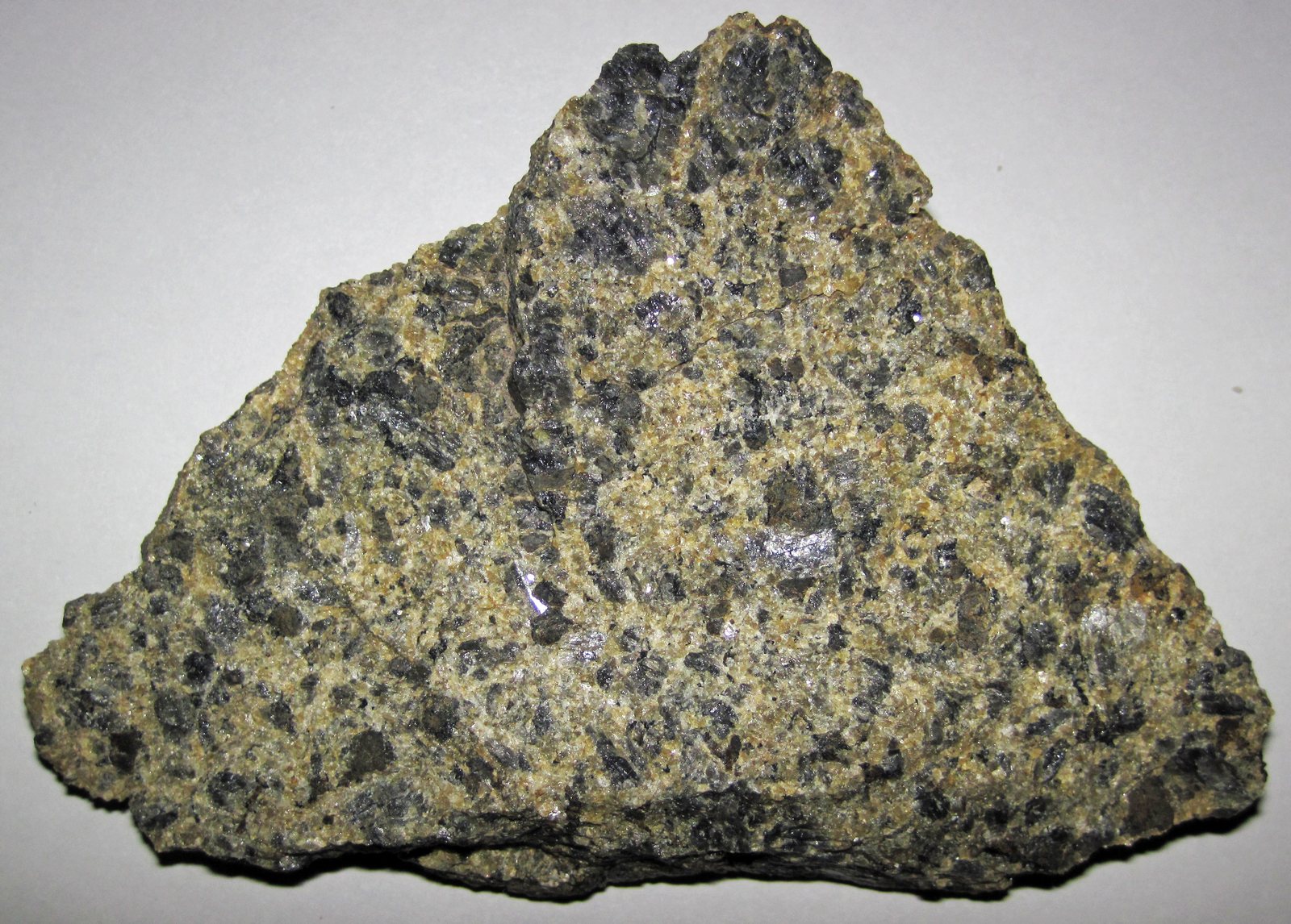
Anorthosite, the basement of the Adirondacks. A weathered piece from a
roadcut on Route 73 at Chapel Pond, about eleven centimeters across: plagioclase feldspar,
1,155 million years old, metamorphosed since. This is the rock of the first chapter, when
two continents met, and it is what rises on the west side of the section.
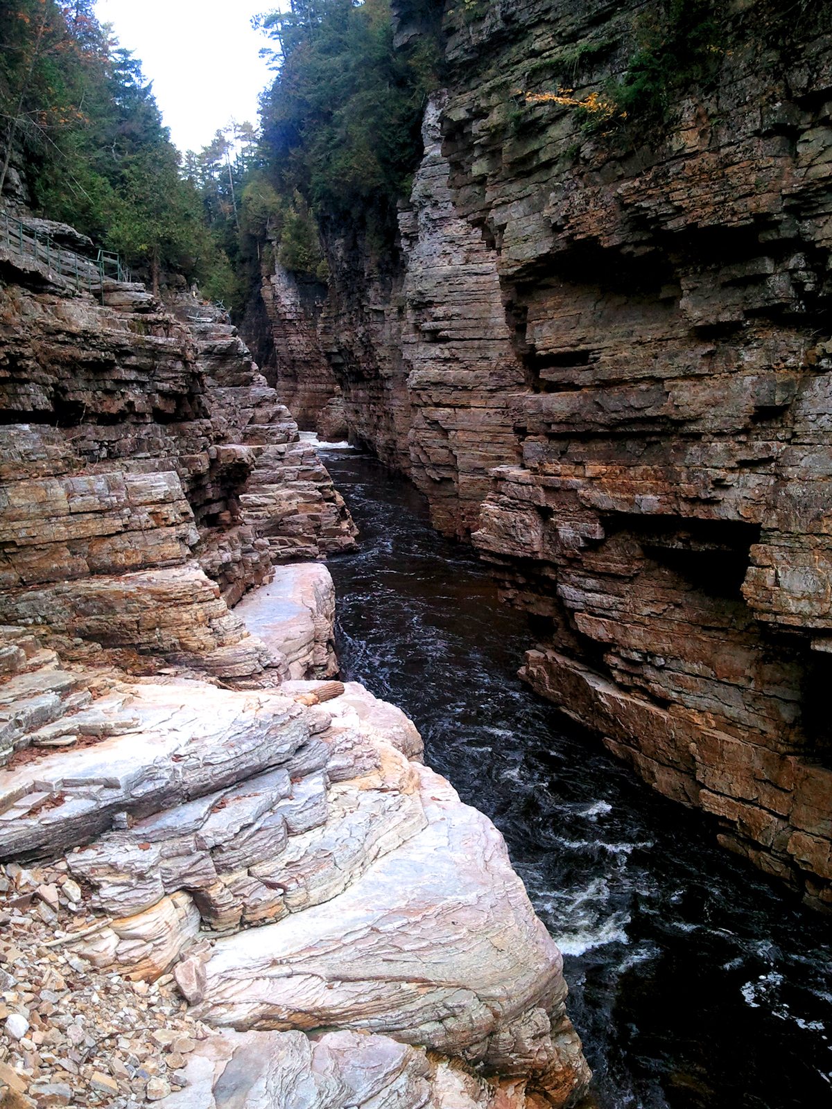
Photograph: James St. John, CC BY 2.0Potsdam sandstone at Ausable Chasm, near Keeseville, New York, where the
Ausable River has cut down through it. The beds in the walls are the sand of the fourth
chapter, laid on the worn-down basement as the sea came in.
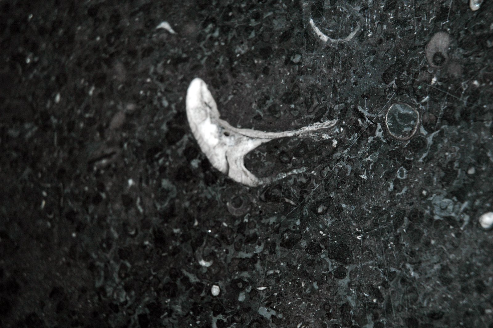
Photograph: Chris Dlugosz, 2011, CC BY 2.0The floor of the tropical sea. Crown Point limestone with the snail
Maclurites magna, a polished slab on display at the Vermont Marble Exhibit in
Proctor. The Crown Point is part of the Chazy Group, the stone the Isle La Motte quarries
cut; the trade calls it Champlain Black Marble.
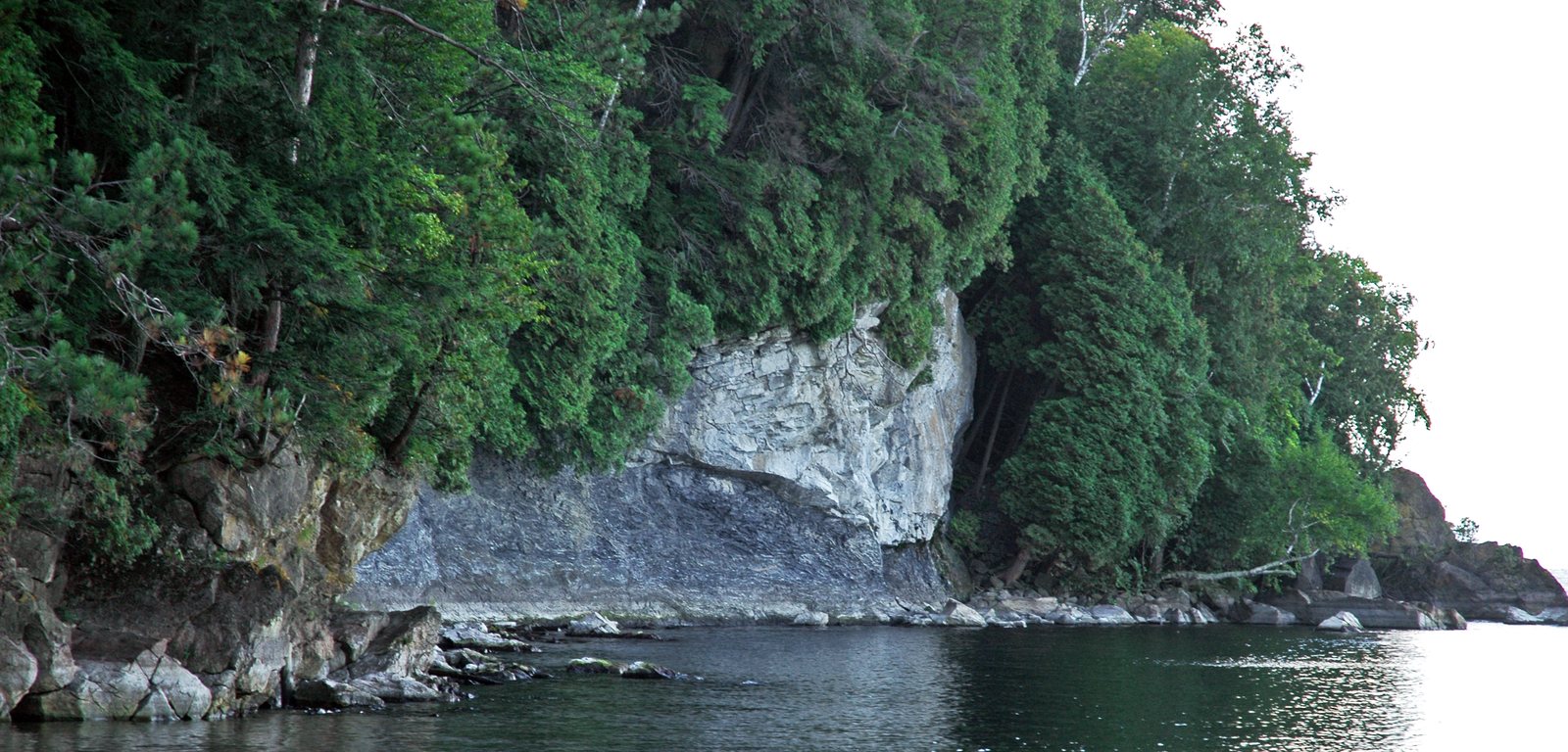
Photograph: James St. John, 2006, CC BY 2.0The Champlain Thrust, in the lakeshore cliff north of Lone Rock Point,
Burlington. The pale rock at the top is Dunham Dolostone, Lower Cambrian; the dark rock
under it is the Iberville Formation, Middle Ordovician, and younger. The older rock was
pushed west over the younger when the ocean closed, the fifth chapter.
Photograph: James St. John, 2006, CC BY 2.0The Iberville Formation below the thrust, in the same cove: lime mudstone,
folded while the fault above it moved.
Photograph: James St. John, 2006, CC BY 2.0
The modern surface is real: a median profile through USGS 3DEP elevation at latitude 44.45°, the
line that runs through Burlington. Everything below that surface, and every stage before the ice
left, is drawn — the units, their order and the direction the thrusts move are what the Vermont
and New York geological surveys map, and the shape between those control points is illustration.
Dates are rounded. Vertical exaggeration is 26×, without which a kilometer of mountain across a
hundred and forty of valley would be too thin to see.