Before 1609
The book in this site's own reader speaks of the two centuries "following its discovery". Vermont's Division for Historic Preservation puts people on this water about twelve and a half thousand years ago. This page covers the interval between those two statements. Its first chart draws both numbers to the same scale.
What the lake was called
It has a name in two languages. The lake lay between two peoples, and was disputed between them, long before any European arrived.
Odziozo, who made it
In Abenaki tradition the lake is the work of Odziozo — the name is given as "he who created himself", the Transformer. He shaped the valleys and the hills while his legs were still growing, carved and flooded the lake, and when he had finished he looked at what he had made and turned himself to stone in it, to stay with his favorite creation.
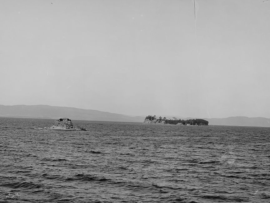
The rock he is said to have become is Rock Dunder, off Shelburne Point.
Five excavated sites
All five are in one state excavation report, and each name opens it at the page that describes the site.
Missisquoi
The delta at the mouth of the Missisquoi is the one place on this lake with a documented record running from the deep sequence above straight into the present. The community's own account ↗ reports continuous occupation there from about 7,500 years ago, and a longhouse roughly a hundred feet (30 m) long found in 2015.
The battle of 29 July 1609, seen from the Native side
Champlain entered the lake in early July 1609 and, by the account in the reader here, spent twenty-five days exploring its shores and islands before arriving near the promontory of Ticonderoga on 29 July. There he was, in that book's own phrase, "over-persuaded by his Algonquin allies to fight his successful but ill-advised battle with the Iroquois."
That is a nineteenth-century narrator's judgment, kept for what it concedes: the fight was not Champlain's idea, and he was in it as somebody's ally. The same passage argues that this one engagement, more than any other single factor, set the Iroquois confederation against the French and so decided that the language and government of the whole region would end up English rather than French.
Both of those readings are about Europeans. The people Champlain fought had been on this lake for the entire span of the chart above. Everything since contact is under three per cent of it.
The dispute over Abenaki recognition in Vermont
—
—